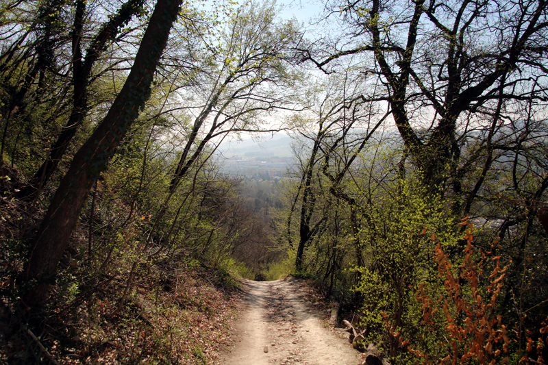
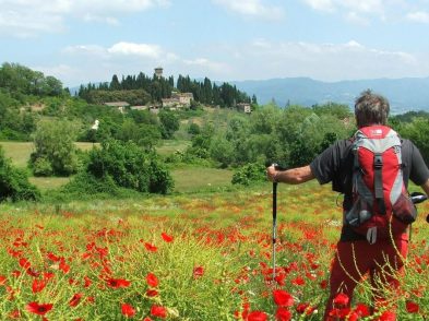
Threading its way through the Apennine mountains, the Via degli Dei is a 130-kilometre-long hiking route between Florence and Bologna.
The path’s name, which translates as the Way of the Gods, is probably derived from mountains encountered along the route, including Monte Venere, near Monzuno, and Monte Luario, close to Firenzuola, which refer to Venus and Lua, a Roman goddess to whom soldiers sacrificed captured weapons.
Well signposted by CAI – Club Alpino Italiano, the hiking route follows the same ridgeways that Roman soldiers trod along the old Via Flaminia and which connected Florence and Bologna in the Middle Ages. The itinerary can be divided into four or more stages (on foot depending on fitness) or into two or more stages (by bike).
Revamped in the Nineties, the route offers stunning scenery and untouched nature at altitudes skirting 1000 metres above sea level. At certain points, the track reveals cobblestones that still survive two millennia on. Starting in Bologna, the route, which can be travelled on foot or by mountain bike, continues to Badolo, Monte Adone, Monte Venere, Madonna dei Fornelli, Monte dei Cucchi, Monte Poggiaccio (the highest point at 1190 metres above sea level, Passo della Futa, Monte di Fò, Monte Gazzaro, Passo dell’Osteria Bruciata, San Piero a Sieve, Monte Senario and Poggio il Pratone before dropping down into Fiesole, and finally Florence.
To find out more about a Via degli Dei walking experience by a group of young explorers, follow @WalkAway_bo on Instagram or Walk Away on Facebook.
Information about the route, including accommodation and restaurants, can be found on www.viadeglidei.it
Watch Florence TV (in English) | Listen to the playlist (in English):
www.cittametropolitana.fi.it
